Outdoors
Cycling the Eastern Townships from Coaticook
Updated
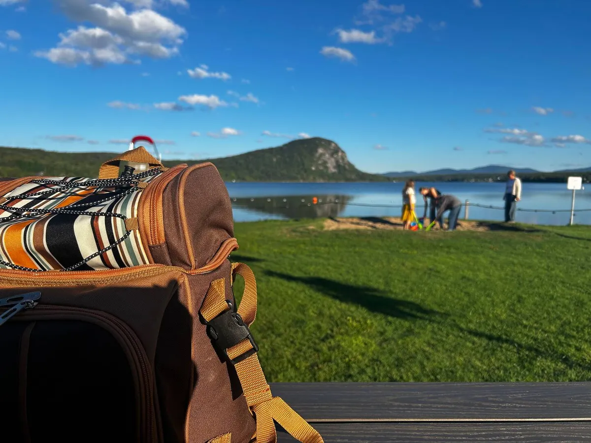
First, the truth about the terrain: the Coaticook valley is hills. Pretty ones, with farms and long views, but flat kilometres are rare and the local route names come with elevation figures for a reason. If that does not appeal, there are two easy paths and an e-bike rental, and I start with those.
Easy rides and family paths
In Coaticook, the town's bike path runs for more than 15 km along the river and through downtown. Tourisme Coaticook maps a 12.2 km family circuit on it called Rivière aux Pins, in three branches, past a covered bridge, parks and historic buildings, and up to the Parc de la Gorge. It is paved and close to ice cream.
The other easy one is the Tomifobia Nature Trail, 19 km of old railway bed along the Tomifobia River between Ayer's Cliff and the Beebe sector of Stanstead. It is unpaved, rated easy, free, and far from traffic. The Ayer's Cliff municipal page lists parking at km 1, 6, 9.4, 12 and 16, and says dogs must be on a leash. Ayer's Cliff is about 25 minutes by car from Coaticook (25 km, 16 miles). Out and back is 38 km, so with kids, start from one of the middle lots.
The cruiser bikes at the house
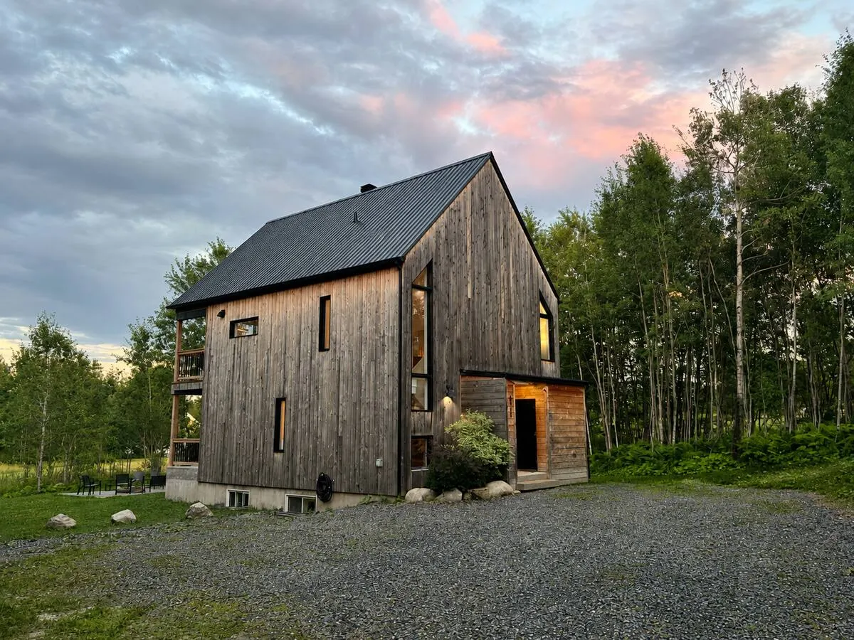
La Villa Foresta has beach cruiser bikes, and the listing puts Lac Lyster beach less than five minutes away. That is what cruisers are for. They are not the tool for the loops below. The listing does not mention helmets or child seats, so bring your own.
Road loops
Tourisme Coaticook publishes nine cycling circuits (in French, with maps) and an English cycling page. The road ones, from gentle to hard:
- Petite boucle de Compton, 32 km, and Grande boucle de Compton, 38 km, both on asphalt with about 400 m of climbing. The longer one goes through Martinville and its old mill park.
- Sir Lyster, 34.2 km, 90 percent asphalt, 381 m of climbing, wide views, a last 10 km that mostly descends, and a swim in Lac Lyster at the end.
- Wallace Frontières, 72.3 km, which crosses into Vermont for about 20 km.
- Voie des Pionniers, 76.2 km with 977 m of climbing, up through Saint-Malo and its observation tower.
About Wallace Frontières: that is an international border, on a bike as in a car. Every rider needs valid travel documents, the rules differ by citizenship, and there are rules for food and alcohol too. Read the CBSA and U.S. CBP pages before you go, and check the hours of the crossings on your route.
Gravel
This is where the region is strongest. The dirt roads are quiet and they go everywhere.
- Journée d'Amérique, 23.2 km, easy, 328 m of climbing, forest gravel through Saint-Venant-de-Paquette.
- Caméléon Mystic, 59 km (or 42 km), mostly gravel, moderate. It starts at the Parc de la Gorge and passes Hatley, Way's Mills and the Fromagerie La Station, which makes it the rare ride with a cheese stop built in.
- Graveleur des bois, 50.2 km of forest roads with grades up to 20 percent and very little cell coverage. Download the map first.
- Grande boucle de la Vallée, 117 km and 1,460 m of climbing (there is an 81 km version), from Parc Jean-D'Avignon in Coaticook. For strong riders, or over two days.
Mountain biking at the Gorge
The Parc de la Gorge de Coaticook has 23 km of marked singletrack from beginner to expert, and a skills park with six lines and a parallel slalom. You pay a day pass, which also covers the hiking trails. Helmets are mandatory. Dogs are allowed on the trails on a leash.
In winter the same park has an 11 km fat bike route. More on that in our winter weekend guide.
Rentals and e-bikes
The park does not rent bikes itself. It points riders to L'Enclave Vélotric in Coaticook for mountain bikes and electric bikes, and Tourisme Coaticook names the same shop for e-bikes. Call ahead for sizes and availability. For the rest of the region, Tourism Eastern Townships keeps a list of where to rent a bike, with shops in Magog, Granby and elsewhere.
The Route verte
The Route verte is Québec's 5,400 km cycling network, an idea of Vélo Québec. The axis that crosses the Townships runs through Granby, Magog and Sherbrooke, north of Coaticook, so do not expect Route verte signs in town. The nearest good taste of it is the Circuit des Grandes-Fourches, a 54 km intermediate loop around Sherbrooke that follows the Magog and Saint-François rivers, stops in North Hatley and connects to the Route verte. North Hatley is about 30 minutes from Coaticook (30 km, 19 miles).
Practical notes
Drive times are approximate and from Coaticook. Winter roads and border waits change the math, and in early spring the gravel is soft while the frost comes out of the ground.
Carry more water than you think you need: villages are far apart on the longer loops. For what else is nearby, see the area, or the Lac Lyster and Mont Pinacle guide for the lake end of the ride.
Useful links
- Tourisme Coaticook: cycling
- Tourisme Coaticook: nine cycling circuits (in French)
- Tomifobia Nature Trail (Tourism Eastern Townships)
- Tomifobia Nature Trail (Municipality of Ayer's Cliff)
- Parc de la Gorge de Coaticook: mountain bike
- Where to rent a bike in the Eastern Townships
- Route verte
- CBSA: travellers
- U.S. Customs and Border Protection: travel
Bringing a group?
La Villa Foresta sleeps twelve in five bedrooms near Coaticook, with a fire pit, a meadow and Mount Pinacle in the window. Dogs are welcome. It is new on Airbnb for 2026 and hosted by a Superhost.
See the house